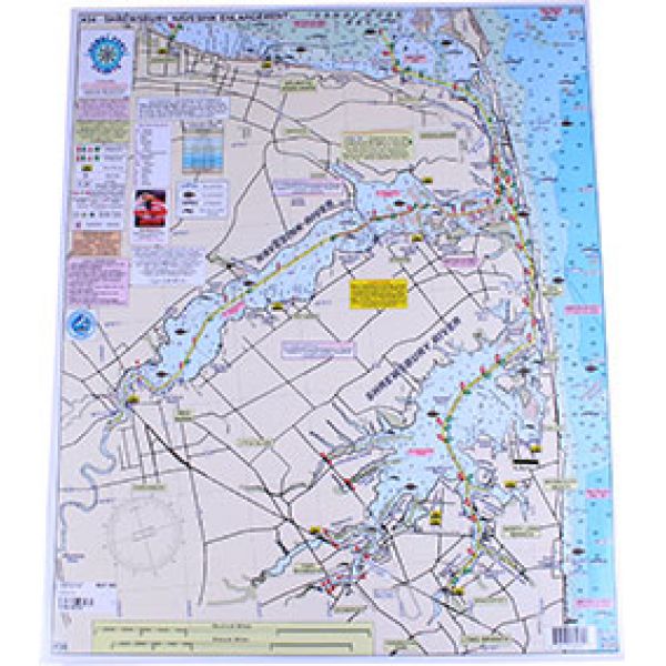
Homeport Charts 34
Shrewsbury-Navesink-Metedeconk-Shark-Manasquan Rivers
Shrewsbury-Navesink-Metedeconk-Shark-Manasquan Rivers
Our Best Offers
Free Economy Shipping on Orders over $100 with NO CODE NECESSARY! (Some Exclusions Apply)
Current Active Promotions
| Model TD Code | Type of Water | Features | Price |
| 34 CHA-0014 | Intercoastal, Rivers & Back Bays | Laminated - Waterproof Color coded depth and contour curve lines | $19.99 USD | ||||||||
Enlarged Rivers
ALL GPS Great for Kayakers!
Shows: Sandy Hook Bay, Sandy Hook Channel, Navesink River, Shrewsbury River, to Little Silver Creek, Town Neck Creek, Parkers Creek, Horseneck Point, and Oceanport Creek, out to Troutsmans Creek, enlargement of Shark River Inlet to Shark River through Belmar, to New Bedford and Manasquan Inlet (enlarged) to Pt. Pleasant to Brielle, to the Pt. Pleasant Canal and the Metedeconk River from Mantoloking to Bricktown, to Metedeconk
- Holes and humps shown
- Markers and buoys highlighted
- Boat Ramps shown
- Clearly marked anchorages shown
- Laminated-waterproof
- Color coded depth and contour curve lines
- Artificial Reefs show: Sandy Hook Reef-Sea Girt Reef-Mantoloking Reef
Joins Charts:
- #6 Mud Hole Chart Sandy Hook to Ocean City NJ
- #7 Manasquan to Graet Inlet out 20 miles
- #16 Inshore Shark River-Manasquan-Barnegat Inlets
- #22 ICW Manasquan Inlet to Barnegat Bay to Manahawkin Bay
- #42 Raritan Bay & Ocean from Jones Inlet NY to Manasquan Inlet NJ out 20 miles
Show off your fishing gear investment. Please post images and videos of your fishing gear, apparel, catches and lifestyle shots on and off the water. Let's see what you've got for a chance to win FREE gear! You can use #HookedOnTD or UPLOAD YOUR IMAGE HERE to make it onto our product pages or gallery. See something you like? You can shop directly from the images we post when gear we sell is featured!


