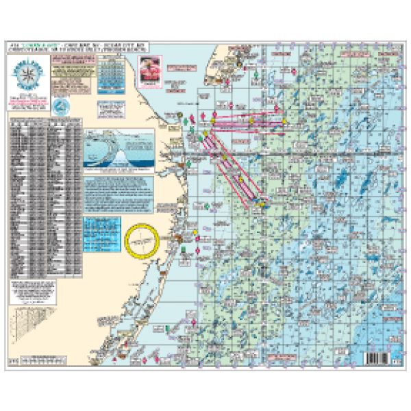
Homeport Charts 15
Cape May, NJ to Ocean City, MD to Chincoteague, VA to Rudee Inlet (Virginia Beach)
Cape May, NJ to Ocean City, MD to Chincoteague, VA to Rudee Inlet (Virginia Beach)
Our Best Offers
Free Economy Shipping on Orders over $100 with NO CODE NECESSARY! (Some Exclusions Apply)
Current Active Promotions
| Model TD Code | Type of Water | Features | Price |
| 15 CHA-0005 | Ocean/Inshore | Laminated - Waterproof Color coded depth and contour curve lines | $19.99 USD | ||||||||
Fishing Grounds:
Sea Isle Ridge, Five Fathom Bank, NE Lump, Middle Lump, East Lump, North Dump Site, Elephant Trunk,19 Fathom Lump, South Dumpsite, Massey's Canyon, Chicken Bone, South Paw, Ham Bone, Twenty Fathom Fingers, Hot Dog, Hot Dog Notch, Jack's Spot, The Sausages, Hot Dog Bun, Mike's Hump, Parking Lot, 16 Mile Hill, Peanut, 21 Mile Hill, Lumpy Bottom, Sea Gull, 26 Mile Hill, Rock Pile, Washington Canyon, Poorman's, South Poorman's, Norfolk Canyon, Middle Finger, First Finger and more.
Wrecks Shown:
Varanger, Bass Barn, Champion, Ammo Wreck, Misty Blue, J.Jones (bow), J.Jones (stern), Lori Dawn, Northern Pacific, Cherokee, Bimbo, Gun Boat, Manhattan, TJ Hooper, Patty's Pitcher, Hvoslev, Capt. Starns, Miss Arlene, Saitia, Muff Diver, San Gil, GS Cook, P. Russell, Boiler Wreck, Atlantic Mist, Hermod Light Ship, Hans, Marine Elec, Olinda, Ammo Ship, Monroe, Queen, Edna, JW Star, Schooner, Patty B, Madrugada, 53 Fa Wreck, U-III Sub, Ostfriesland, Sand Stone, Lawson, Ocean Venture, Vicky, Deco, 44 Fa Wreck, BA Van Brunt, Isabella Paramenter,Clammer, Eureka, Prince of Peace, Nancy, Jennings, 747 Airplane, Spring Chicken, Tercil, Cayahoga, Luchenbach, J Morgan, Clark, Ricks, Stanchion, Gulf Hustler, and more.
Joins charts:
- like the identification and coordinate of fishing hot spots
- Prepared by Local, Veteran Boat Captain who is familiar with waters and boater needs. Compact size is easy to store. Laminated.
- None
Show off your fishing gear investment. Please post images and videos of your fishing gear, apparel, catches and lifestyle shots on and off the water. Let's see what you've got for a chance to win FREE gear! You can use #HookedOnTD or UPLOAD YOUR IMAGE HERE to make it onto our product pages or gallery. See something you like? You can shop directly from the images we post when gear we sell is featured!


