Homeport Charts 10
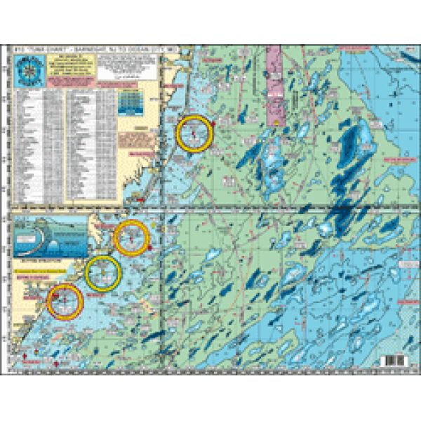
TUNA CHART' Barnegat, NJ to Ocean City, MD ALL GPS
TUNA CHART' Barnegat, NJ to Ocean City, MD ALL GPS
Our Best Offers
Free Economy Shipping on Orders over $100 with NO CODE NECESSARY! (Some Exclusions Apply)
Current Active Promotions
| Model TD Code | Type of Water | Features | Price |
| #10 CHA-0002 | Ocean/Inshore | Laminated - Waterproof Color coded depth and contour curve lines | $19.99 USD | ||||||||
Awesome Bottom Structure - Holes-Shoals-Lumps-Bumps
Shows: Barnegat Inlet, Little Egg Inlet, Absecon Inlet, Great Egg Inlet, Cape May Inlet, Indian River DE Inlet and Ocean City MD inlet
- 10 Mile radius lines from each inlet
- Out 50 Miles
- Laminated - waterproof
- Color coded depth and contour curve lines
- 89+ Wrecks and Reefs like: Anastasia, Cow Wreck, Tolton, Maurice Tracy, Bone Wreck, Vixen, Hargraves, Resor, Sumner, Gulf Trade, Chesapeake, San Saba, Choctaw, Spanish Wreck, Blackie Wreck, Salem, Evelyn K, Varanger, Capt. Walt Hendee, Champion, Ammo Wreck, Misty Blue, Jacob Jones, Bimbo, Manhattan, TJ Hooper, USS Nina, Miss Arlene, Muff Diver, USS Blenny, St Augustine, and many more.
Fishing Grounds with DGPS LAT/LON Coordinates: The Slough, The Ledges, Tolton Lump, Barnegat East Ridge, Dusky Hole, ESS Ridge, Table Top, Barnegat Ridge, 45 Square, Triple Lumps, Stone Beds, Sea Isle Lump, Avalon Shoal, Cuma Lumps, The Fingers, Brigantine Shoal, Margarita Lump, Sea Isle Ridge, Jim's Hole, Bent Chunk, NE Lump, Middle Lump, The Pimple, The Cigar, East Lump, The Triple Wrecks, The Elephant Trunk, North Dump Site, 19 Fathom Lump, South Dumpsite, Massey's Canyon, The Tea Cup, The Chicken Bone, Hambone, South Paw, 20 Fathom Fingers, The Hotdog, Hot Dog Bun, Sausages, Jack's Spot, Notch of the Dog
Joins Charts:
- #1 Delaware Bay
- #2 Inshore Beach Haven to Cape May to Indian River DE
- #6 "Mud Hole" Chart Sandy Hook to Ocean City
- #7 Manasquan to Great Egg Inlet out 20 mile
- #15 South Tuna Chart Cape May, NJ to Ocean City MD to Virginia Bch, VA
- #16 Inshore- Shark River Inlet to Barnegat Inlet
- #11-ICW- Barnegat-Beach Haven-Atlantic City-Ocean City w/ Entire Mullica River to Sweetwater
- #12 Canyon Chart-Hudson's to South Poorman's
- #20 ICW Absecon to Cape May Inlet w/ Great Egg Bay, River and Tukahoe River
- #22 Manasquan Inlet-Barnegat Bay-Manahawkin Bay
- Hot spot , latitudes, longitudes, depths, traffic lane identification, dumping ground identification
- Prepared by Local, Veteran Boat Captain who is familiar with waters and boater needs. Compact size is easy to store. Laminated.
- None
Show off your fishing gear investment. Please post images and videos of your fishing gear, apparel, catches and lifestyle shots on and off the water. Let's see what you've got for a chance to win FREE gear! You can use #HookedOnTD or UPLOAD YOUR IMAGE HERE to make it onto our product pages or gallery. See something you like? You can shop directly from the images we post when gear we sell is featured!


