CMOR Mapping West Gulf of Mexico Mapping
FREE 1 Day Shipping on All CMOR Mapping Products!
Our Best Offers
Free Economy Shipping on Orders over $100 with NO CODE NECESSARY! (Some Exclusions Apply)
Current Active Promotions
| Model TD Code | Description | Price |
| WGOM001R CMO-0031 | West Gulf of Mexico Mapping - f/ Raymarine | $700.00 USD | |||||||||
| WGOM001S CMO-0030 | West Gulf of Mexico Mapping - f/ Simrad, Lowrance, B&G & Mercury | $700.00 USD | |||||||||
West Gulf of Mexico
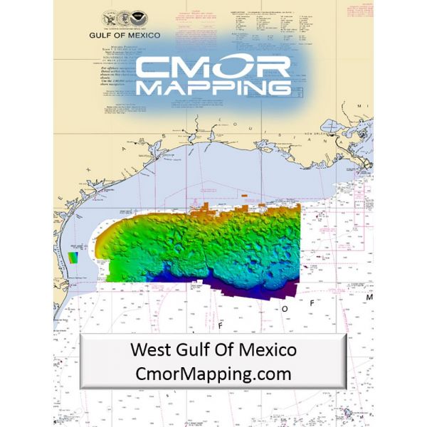
The West Gulf Of Mexico CMOR Card includes coverage offshore of western Louisiana and Texas: If your looking to deep drop for grouper, tilefish and swords or find the humps that push the bait and pelagics to the surface, this is a must have chart for your boat!
The Coverage includes but is not limited to the list below.
- Deep water coverage from approximately 250ft- 12,000ft throughout the East Gulf of Mexico
- 270 sq mile nearshore Area offshore of Laguna Madre
- The Texas “HillTops”
- East Break and Little Drop
- West Flower Garden Banks
- East Flower Garden Banks
- Shelf Banks and Domes
- Most deep water Basins, Ridges, escarpments, and Domes in the Western Gulf
CMOR Mapping bathymetry arms you with more and better data than anybody else on the water.
NOAA Chart 411 and 11006 are included in the background.
All CMOR Cards come on Micro SD cards with a standard SD adapter included.
Show off your fishing gear investment. Please post images and videos of your fishing gear, apparel, catches and lifestyle shots on and off the water. Let's see what you've got for a chance to win FREE gear! You can use #HookedOnTD or UPLOAD YOUR IMAGE HERE to make it onto our product pages or gallery. See something you like? You can shop directly from the images we post when gear we sell is featured!


