CMOR Mapping Georgetown & Cape Lookout Mapping
FREE 1 Day Shipping on All CMOR Mapping Products!
Our Best Offers
Free Economy Shipping on Orders over $100 with NO CODE NECESSARY! (Some Exclusions Apply)
Current Active Promotions
| Model TD Code | Description | Price |
| GTCL001R CMO-0037 | Georgetown & Cape Lookout Mapping - f/ Raymarine | $700.00 USD | |||||||||
| GTCL001S CMO-0036 | Georgetown & Cape Lookout Mapping - f/ Simrad, Lowrance, B&G & Mercury | $700.00 USD | |||||||||
Georgetown & Cape Lookout
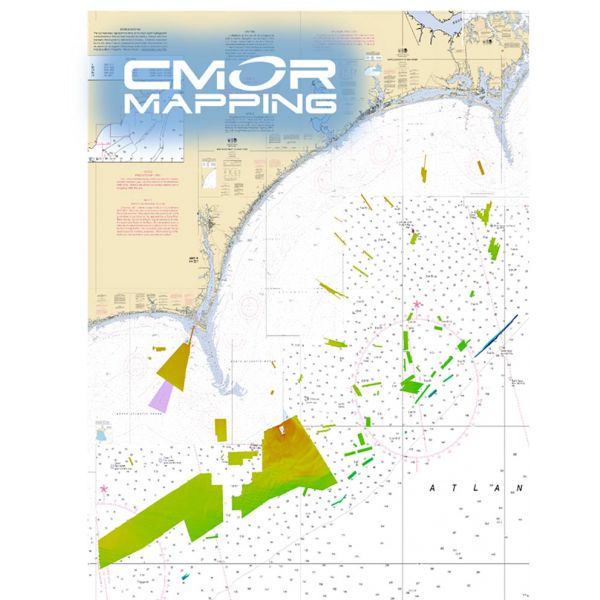
The Georgtown SC - Cape Lookout CMOR cards covers some of the best bottom fishing, king fishing and diving locations offshore of Long and Onslow Bay and centered around frying pan tower.
The majority of the depths are from 50-150ft with a few areas extending to 300ft on the ledge.
The data from frying pan tower to the west toward GeorgeTown SC is in continuous blocks. There are several wrecks and some astonishing natural features surrounding the frying pan tower.
The data from frying pan towards cape lookout consist of numerous small areas containing wrecks, ledges, and random small natural bottom features that tend to hold some of the largest concentrations of fish. These spots are traditionally missed due their size.
NOAA Charts 11520, 11536, 11531, 11539, 11543, and 11544 are included in the background.
All CMOR Cards come on Micro SD cards with a standard SD adapter included.
Show off your fishing gear investment. Please post images and videos of your fishing gear, apparel, catches and lifestyle shots on and off the water. Let's see what you've got for a chance to win FREE gear! You can use #HookedOnTD or UPLOAD YOUR IMAGE HERE to make it onto our product pages or gallery. See something you like? You can shop directly from the images we post when gear we sell is featured!


